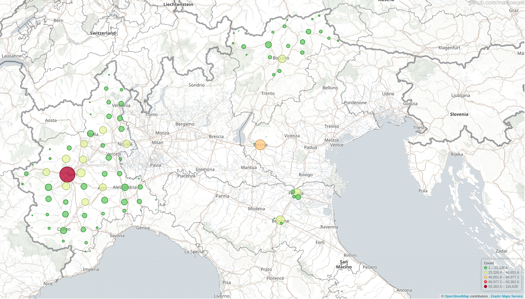
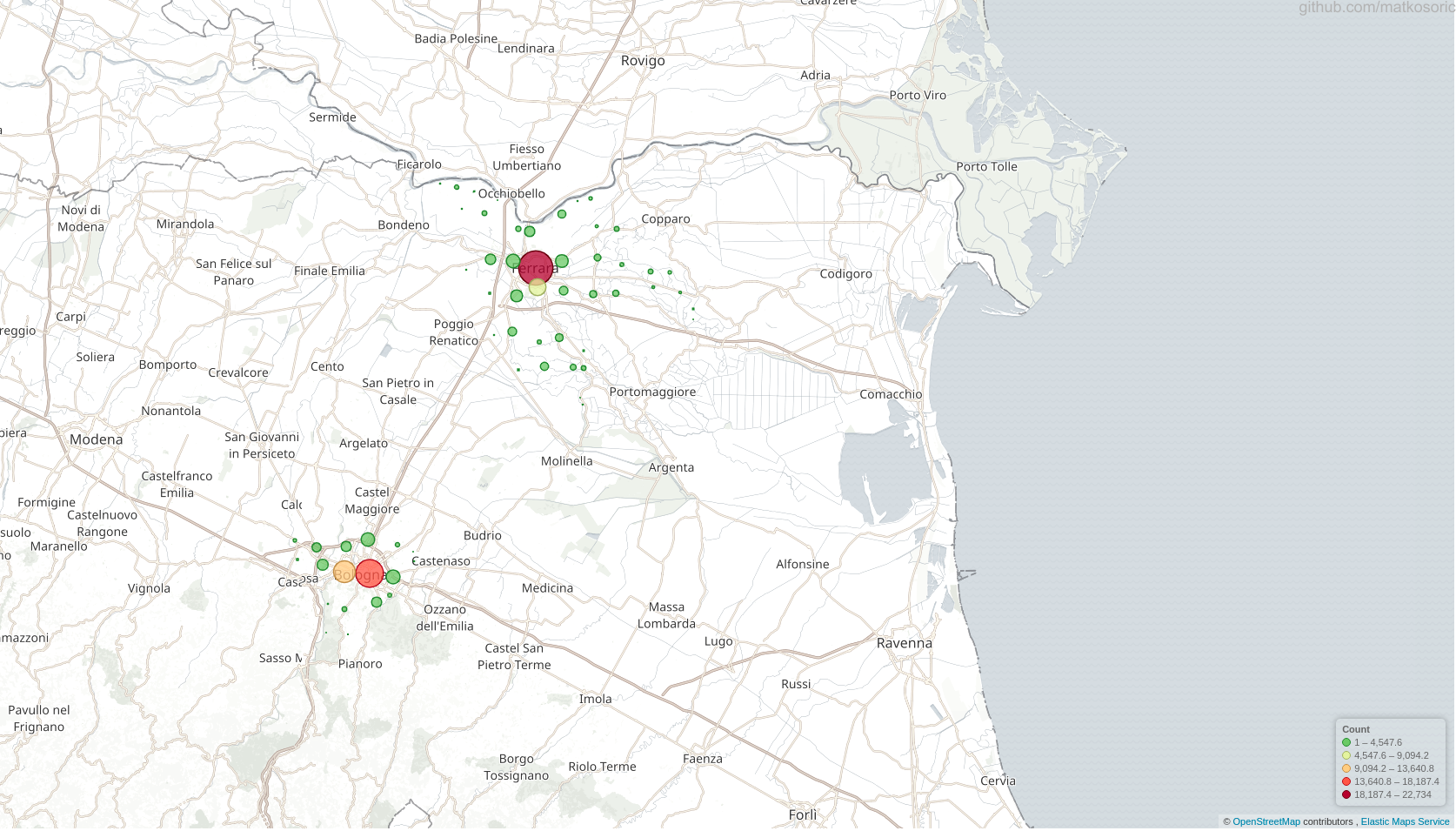
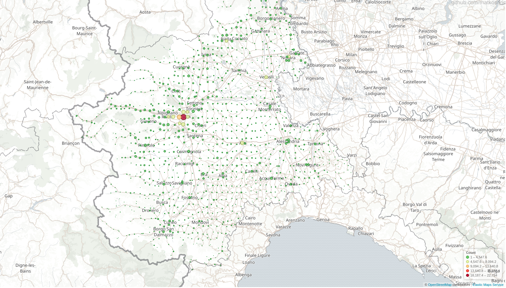
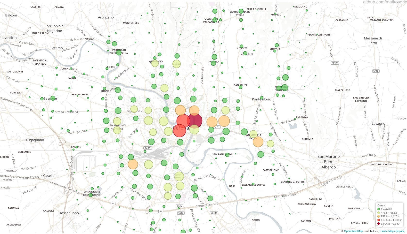
This is a demonstration of ELK stack geo-mapping capabilities.

The original Dataset
The presented data are a subset of geo points in a zip file for Europe (https://s3.amazonaws.com/data.openaddresses.io/openaddr-collected-europe.zip) available through the OpenAddresses project. I used only a couple of files related to Italy (ferrara.csv, bologna.csv, statewide.csv, etc.). Circle size and color are not related to any other features in a dataset; they simply indicate a quantity of points in a certain area.
Created With
- ElasticSearch - ElasticSearch NoSQL engine
- Kibana - Kibana visualization tool
- Logstash - Logstash ingestion tool


